
- Product
- Qty in Cart
- Quantity
- Price
- Subtotal
-
 Only 1 left
C-map Reveal Coastal Canada North And East
$249.90C-MAP M-NA-Y209-MS Reveal Coastal Canada North and EastModel: M-NA-Y209-MSShaded Relief — bring the world around you to life, with 3D rendered land and underwater elevation — including areas of... -

C-map Reveal Coastal Central America Caribbean
$249.90C-MAP M-NA-Y205-MS Reveal Coastal Central America and CaribbeanModel: M-NA-Y205-MSShaded Relief — bring the world around you to life, with 3D rendered land and underwater elevation — including areas... -

C-map Reveal Coastal Chesapeake Bay To The Bahamas
$249.90C-MAP M-NA-Y203-MS Reveal Coastal Chesapeake Bay to the BahamasModel: M-NA-Y203-MSShaded Relief — bring the world around you to life, with 3D rendered land and underwater elevation — including areas... -

C-map Reveal Coastal Great Lakes To Nova Scotia
$249.90C-MAP M-NA-Y201-MS Reveal Coastal GREAT LAKES TO NOVA SCOTIAModel: M-NA-Y201-MSShaded Relief — bring the world around you to life, with 3D rendered land and underwater elevation — including areas of... -
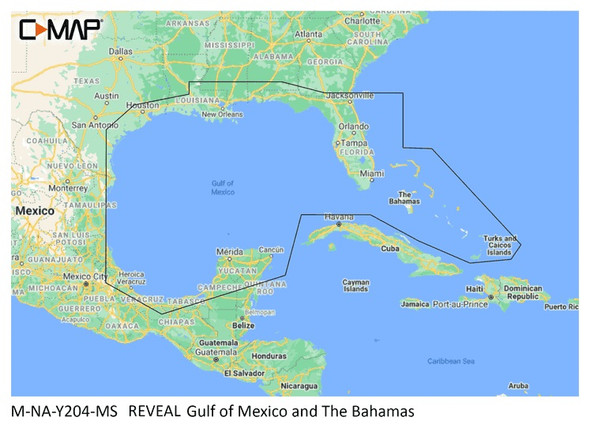
C-map Reveal Coastal Gulf Of Mexico And Bahamas
$249.90C-MAP M-NA-Y204-MS Reveal Coastal Gulf of Mexico and The BahamasModel: M-NA-Y204-MSShaded Relief — bring the world around you to life, with 3D rendered land and underwater elevation — including areas... -
 Only 1 left
C-map Reveal Coastal Hawaii, Marshall Islands And French Polynesia
$249.90C-MAP M-NA-Y210-MS Reveal Coastal Hawaii, Marshall Islands and French PolynesiaModel: M-NA-Y210-MSShaded Relief — bring the world around you to life, with 3D rendered land and underwater elevation —... -
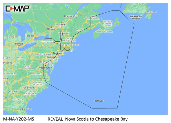
C-map Reveal Coastal Nova Scotia To Chesapeak Bay
$249.90C-MAP M-NA-Y202-MS Reveal Coastal Nova Scotia to Chesapeak BayModel: M-NA-Y202-MSShaded Relief — bring the world around you to life, with 3D rendered land and underwater elevation — including areas... -
 Only 1 left
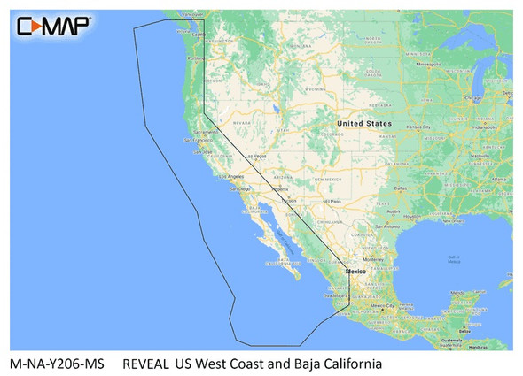
C-map Reveal Coastal Us West Coast And Baja
$249.90C-MAP M-NA-Y206-MS Reveal Coastal US West Coast and Baja CaliforniaModel: M-NA-Y206-MSShaded Relief — bring the world around you to life, with 3D rendered land and underwater elevation — including... -
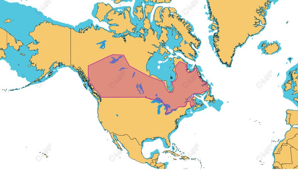
C-map Reveal Inland Canada Lakes
$169.00C-MAP M-NA-Y216-MS Reveal Canadian LakesModel: M-NA-Y216-MSFull-Featured Vector ChartsShaded ReliefHi-Res BathymetryIntegrated Genesis LayerCustom Depth Shading12 Months’ Free UpdatesDetailed Marina... -

C-map Reveal Inland Us Lakes North Central
$169.90C-MAP Reveal Inland US Lakes North CentralModel: M-NA-Y212-MSShaded ReliefFull-Featured Vector ChartsHigh-Res BathymetryCustom Depth ShadingDynamic Raster ChartsEasy RoutingAerial PhotosSatellite... -

C-map Reveal Inland Us Lakes North East
$169.90C-MAP Reveal Inland US Lakes North EastModel: M-NA-Y213-MSShaded ReliefFull-Featured Vector ChartsHigh-Res BathymetryCustom Depth ShadingDynamic Raster ChartsEasy RoutingAerial PhotosSatellite... -

C-map Reveal Inland Us Lakes South Central
$169.90C-MAP Reveal Inland US Lakes South CentralModel: M-NA-Y215-MSShaded ReliefFull-Featured Vector ChartsHigh-Res BathymetryCustom Depth ShadingDynamic Raster ChartsEasy RoutingAerial PhotosSatellite...


