- Product
- Qty in Cart
- Quantity
- Price
- Subtotal
-
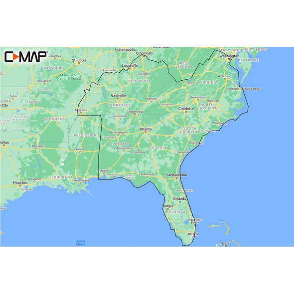
C-MAP M-NA-Y214-MS US Lakes South East REVEAL Inland Chart
$169.90M-NA-Y214-MS US Lakes South East REVEAL™ Inland ChartWhether cruising or fishing or C-MAP® REVEAL™ Lakes charts offer the very best of C-MAP. With Shaded Relief, including Reveal Seafloor, Aerial... -
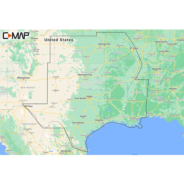
C-MAP M-NA-Y215-MS US Lakes South Central REVEAL Inland Chart
$169.90M-NA-Y215-MS US Lakes South Central REVEAL™ Inland ChartWhether cruising or fishing or C-MAP® REVEAL™ Lakes charts offer the very best of C-MAP. With Shaded Relief, including Reveal Seafloor, Aerial... -
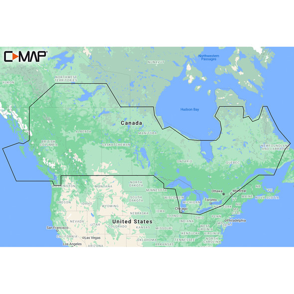
C-MAP M-NA-Y216-MS Canada Lakes REVEAL Inland Chart
$169.90M-NA-Y216-MS Canada Lakes REVEAL™ Inland ChartWhether cruising or fishing or C-MAP® REVEAL™ Lakes charts offer the very best of C-MAP. With Shaded Relief, including Reveal Seafloor, Aerial... -

C-MAP M-SA-Y038-MS Discover South America & Caribbean
$124.90M-SA-Y038-MS DISCOVER™ South America and Caribbean Whether cruising, fishing or sailing, C-MAP DISCOVER™ offers ultra-wide coverage and includes all of the core features you need to make the most of... -
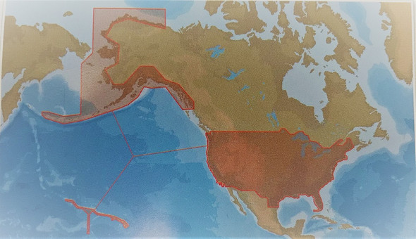
C-map Msd-na-y070 Insight Pro Us Inland Lakes And Coastal
$39.99C-Map NA-Y070 US Insight Pro MSD CardModel: NA-Y070C-MAP Insight Pro covers the entire US Inland and Coastal areas on a single SD card and includes high definition 1-3’ depth contours for thousands... -
 Only 1 left
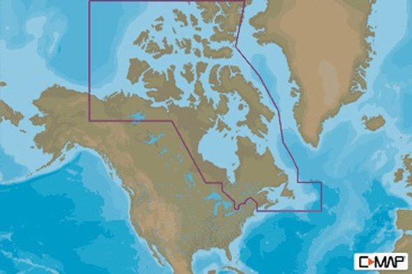
C-map Na-m021 Max N+ Microsd Canada North And East
$292.99C-MAP NA-M021 Max N+ microSDCanada North And EastModel: NA-Y021Card Format: SD/MicroSDFull-Featured Vector Charts - Provide boaters with the accurate, up-to-date vector chart detail including Depth... -

C-map Na-m022 Max Wide C Card East Coast And Bahamas
$279.00C-Map Max Wide C-Card East Coast and BahamasModel: M-NA-M022-CCUpdated twice annually to provide all the latest detail and informationCompatible with dozens of chartplotters from top... -
 Only 1 left
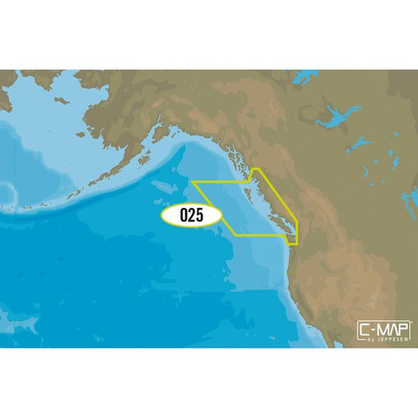
C-map Na-y025 Max N+ Microsd C-map Na-y025 Max N+ Microsd Puget Sound
$292.99C-MAP NA-Y025 Max N+ microSDPuget SoundModel: M-NA-Y025-MSHigh-Resolution Bathymetric (HRB) bottom contour/fishing charts to help anglers target fish-holding coastal and offshore structure more... -
 Only 1 left
C-map Na-y064 Max N+ Microsd Gulf Of Mexico
$292.99C-MAP NA-Y064 Max N+ microSDGulf of MexicoModel: M-NA-Y064-MSHigh-Resolution Bathymetric (HRB) bottom contour/fishing charts to help anglers target fish-holding coastal and offshore structure more... -

C-MAP NT+ NA-C392 - ICW: Norfolk to West Palm - FP-Card Format
$296.49NT+ NA-C392 - ICW: Norfolk - to West Palm - FP-Card Format COVERAGE AREA: ICW: Norfolk - to West Palm CARD FORMAT: FP-Card C-MAP NT+ cartography helped launch a digital charting revolution years... -
 Only 1 left
C-map Reveal Coastal Alaska
$249.90C-MAP M-NA-Y208-MS Reveal Coastal AlaskaModel: M-NA-Y208-MSShaded Relief — bring the world around you to life, with 3D rendered land and underwater elevation — including areas of Ultra-High-Res Bathy... -
 Only 1 left
C-map Reveal Coastal British Columbia And Puget Sound
$249.90C-MAP M-NA-Y207-MS Reveal Coastal British Columbia and Puget SoundModel: M-NA-Y207-MSShaded Relief — bring the world around you to life, with 3D rendered land and underwater elevation — including...


