Description
Garmin Texas East Classic
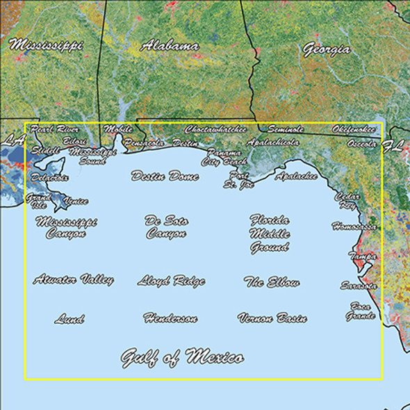
Model: 010-C1180-00- Replaces the basemap so you can see every waterway and land feature.
- High-contrast offshore elevation shading allows you to easily see detail.
- Identifies local waterways and land features.
Sectioned coastal aerial overlay provides high-resolution imagery and local names of waterways and land features.


